

|
A walk to the west of Finistère, the end of the world. Starting on the quieter south coast, passing harbours for the fishing fleets and beaches for tourists. Three ferries save long treks inland.
At Penmarch the coast turns square to the atlantic swell, some of France's best surfing. Then the rugged Cap Sizun reaches west, out into the Atlantic to the Pointe du Raz. Perhaps the toughest walking on the coast path. We recommend, if you have the time, walking this itinerary in a fortnight with a couple of rest days included. Alternatively: If you wanted to pick a week from this itinerary we recommend starting at Penmarch. We remain able to customize your itinerary as you wish. The last figure shows total ascent in the section. Departure point or first night ... Concarneau 1st day's walking to Cap Coz ...12 miles (19 kms) 317m 2nd day, walk to La Mer Blanche ...7.8 miles (12.5kms) 107m 3rd day, walk to île Tudy ... 11.5 miles (18,5kms) 139m 4th day, walk to Penmarch ...15 miles (24kms) 122m 5th day, walk to Tréguennec ...12.5 miles (20kms) 133m 6th day, walk to Penhors ...9.2 miles (14,7kms) 145m 7th day, walk to Audierne ...10.7 miles (17,6kms) 185m 8th day, walk to Kermaléro ...8.2 miles (13,1kms) 170m 9th day, walk to Baie d. Trépassés ...9.8 miles (16kms) 425m 10th day, walk to Kerguerriec ...10.5 miles (16.8kms) 888m 11th day,walk to Pors Peron ...9 miles (14,5kms) 860m Total distance 116 miles (186 kms) 12 nights Cost 1 person 1620€ (14 nights, including 2 rest days) 2 people 1700€ Additional rest days 110€ |

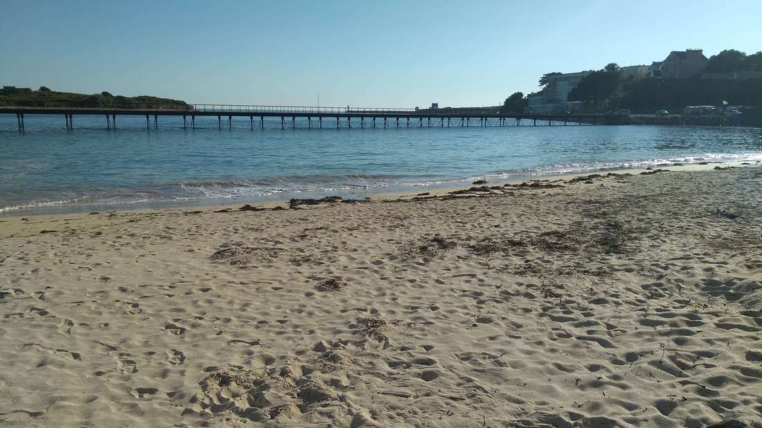
Cap Coz at the end of the first day's walk
1st day's walking Concarneau to Cap Coz See this day's walk on a map 12 miles
Doing the full itinerary would see you arrive and spend your first night in Concarneau. We can arrange for your car to be left safely, or collect you from the station at Rosporden. There's lots to see in Concarneau, but it's worth bearing in mind that ferries run from here to the îles de Glénan. Your first day's walking starts with another, much shorter, ferry ride (actually part of the GR34) across to the Ville Clos. 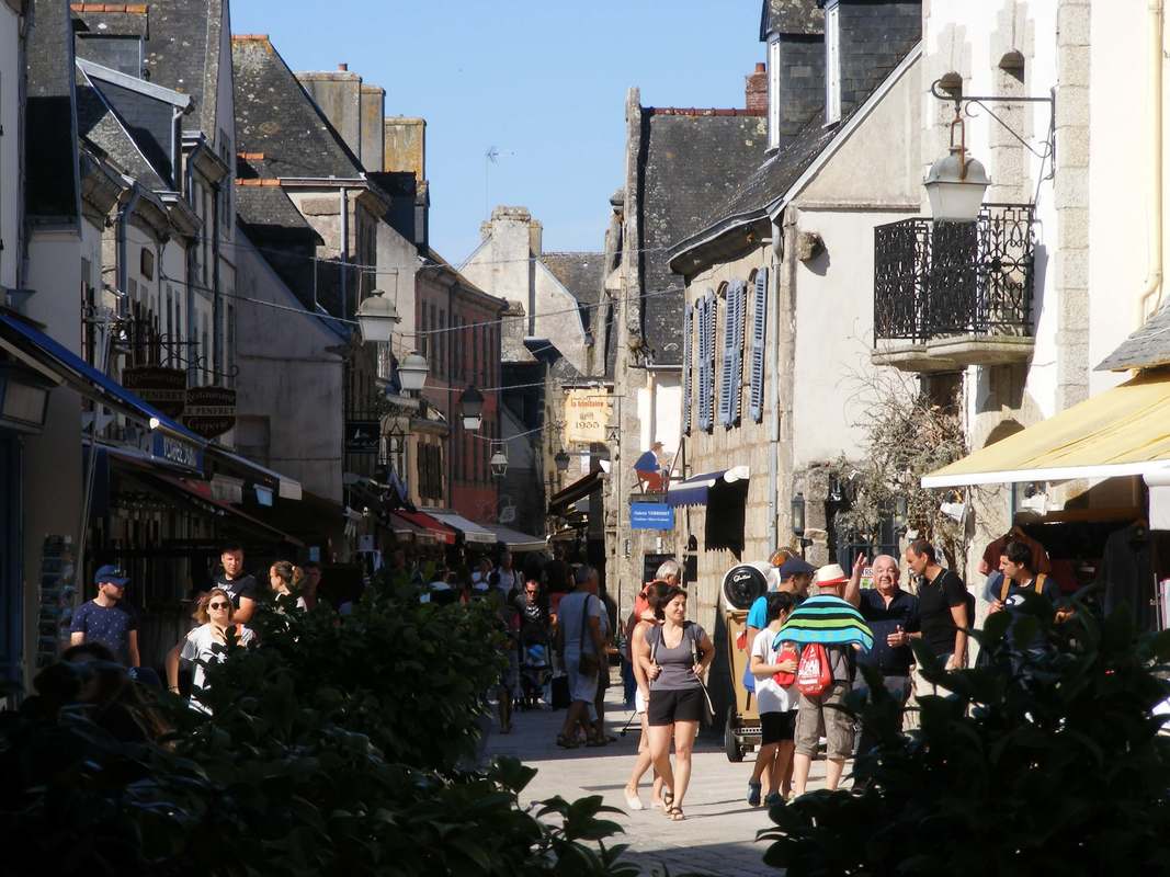
Inside the Ville Clos, Concarneau. Perhaps the only place on the GR34 where you can buy a stripy top without leaving the path
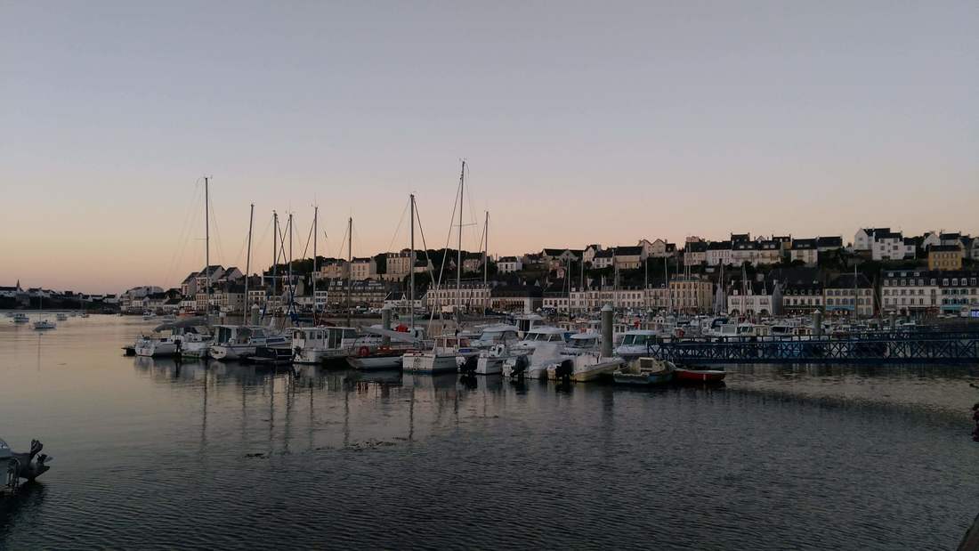
Concarneau is quickly left behind (about 3km is along the town seafront) and you are back in the countryside. This is a level section with sandy beaches, small wooded inlets and an enormous marina at Forêt Fouesnant. There are plenty of opportunities for refreshments.
Cap Coz, your destination is a long spit of dune with a superb beach. Somewhat over-developed, but nevertheless attractive. There are plenty of restaurants. |
Sandy bays beyond Cap Coz
2nd day, Cap Coz to La Mer Blanche See the day's walk on a map 7.8 miles
Discovering lovely sheltered bays inaccessible by road is part of the joy of coast path walking. After Cap Coz many such little beaches enjoy the shelter of the easterly aspect. These are followed by long beaches backed by pine and finally La Mer Blanche which is a shallow inland sea dry at low tide and cut off from the main by a line of dunes. Few opportunities for refreshments this day, but the farm run campsite sells its own beef and vegetables. This is a short walk, but there is the option of walking down the dune spit, there and back adding nearly 7km to the day's walking. |
Beaches close to Beg Meil (Day 2)
Approaching La Mer Blanche
|
3rd day, La Mer Blanche to île Tudy See the day's walk on a map 11.5 miles
From la Mer Blanche you quickly arrive in Bénodet, a prosperous tourist resort. Here a ferry takes you across the Odet to St Marine, saving a long walk to the new road bridge, the quite famous Pont de Cornouaille, which does afford marvellous views. (No ferry Thursdays and Fridays from 27th August). Ferries also run from here to the îles de Glénan. After St Marine a long beach takes you all the way to île Tudy. The beach is backed by a large wildlife reserve. île Tudy is lovely (we've spent a family holiday there) and is a great place for a rest day. |
Children being shepherded out to sea at Bénodet. Day 3
|

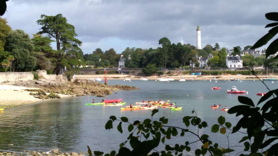
4th day, île Tudy to Penmarch See the day's walk on a map 15 miles
Another ferry ride, starts the day, across to Loctudy very much the down-to-earth, hard-working cousin of île Tudy with a large fishing fleet. The GR34 takes you through suburbs, but, except at high tide, it's possible to walk around the coast instead. Ferries also run from here to the îles de Glénan. Lesconil and Guilvinec are busy ports surrounded by great beaches and Guilvinec's market on a Tuesday and Sunday is one of the best locally. Penmarch has great beaches and impressive rocks formations out at sea. For this reason it has the equally impressive Eckmühl Lighthouse. Which can be visited and climbed. Occasional night tours are available. 
Approaching Lesconil
|
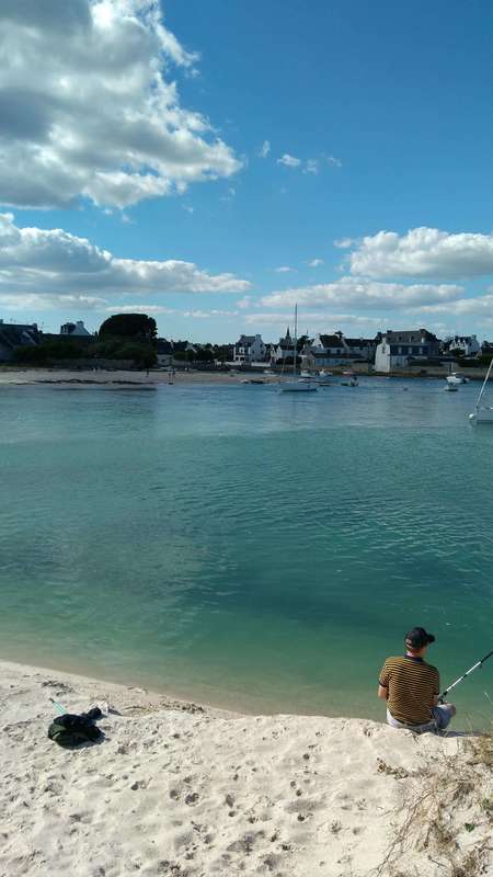
Fishing from the bar at Lesconil
|
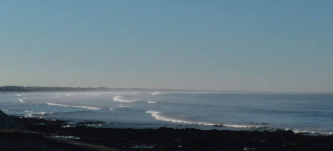
5th day, Penmarch to Tréguennec See the day's walk on a map 12.5 miles
After Penmarch comes one of the best surfing spots in France, la Pointe de la Torche. It's worth going out on la Pointe to watch the surfers and the awe-inspiring waves. The path takes you behind the dunes where there are ponds and nature reserve. It is easier walking than the beach. |
Looking back towards Penmarch
|
6th day, Tréguennec to Penhors See the day's walk on a map 9.2 miles
After walking around several ponds, part of the nature reserve behind the dune system, you follow the long beach to Penhors. Where there's a bar/restaurant and a creperie. Definitely a stage for the binoculars with lots of birdlife in the ponds and reed beds. |
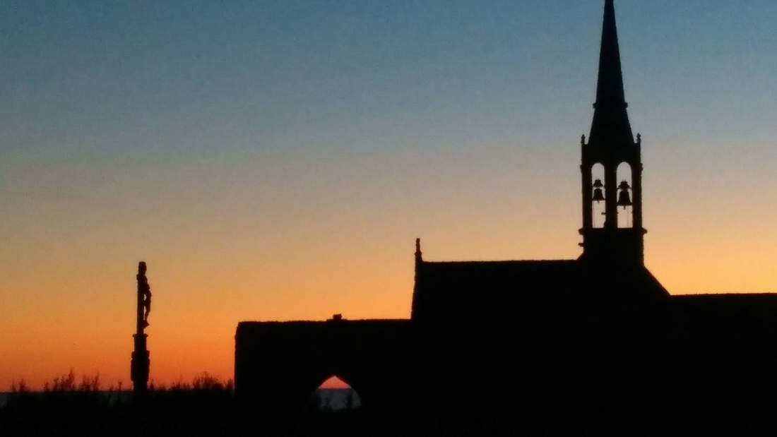
Sunset at Penhors
|

Plage de Gwendrez, between Penhors and Audierne
|
7th day, Penhors to Audierne See the day's walk on a map 10.7 miles
Brittany has a wealth of Neolithic and Early Bronze Age sites, many lost as sea levels have risen since the last ice age. It's worth a small diversion from the path to visit the allée couverte located just after the rugged small port of Pors Poulhan. Continue along the road to a second site, Menez Dregan, an important archeological site partly in, what is now, a marine cave. |

|
See the day's walk on a map 8.2 miles
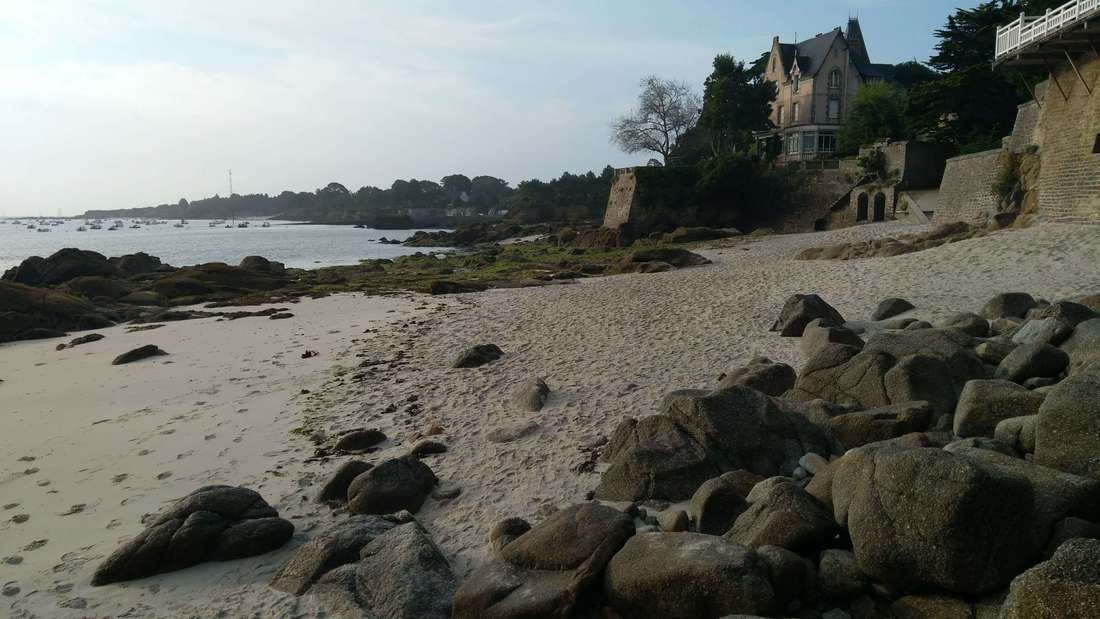
Audierne is delightful and a good choice for a rest day. It has an ancient heart with timber-framed, bent old buildings. Lots of boats, good beaches and a regular ferry to the île de Sein. If after leaving Audierne, miles from anywhere you smell baking croissants; it's this ferry. After Audierne l'Anse du Cabestan with its backdrop of dunes has a refreshing wild feel. Your destination has a supermarket which boasts of being the last before America. |
After all those waves, it's quite a relief to find a nice, sheltered, civilised beach in Audierne.
|
9th day, Kermaléro to the Baie des Trépassés See the day's walk on a map 9.8 miles
A very different feel to the coast and lots more climbing. At this stage, bird enthusiasts should start keep their eyes open for choughs. Based on the number we saw on Cap Sizun, efforts to provide their prefered feeding habitat seem to have been succesful. This is an exposed but beautiful part of the world. La Baie des Trépassés is another favoured surf spot. |
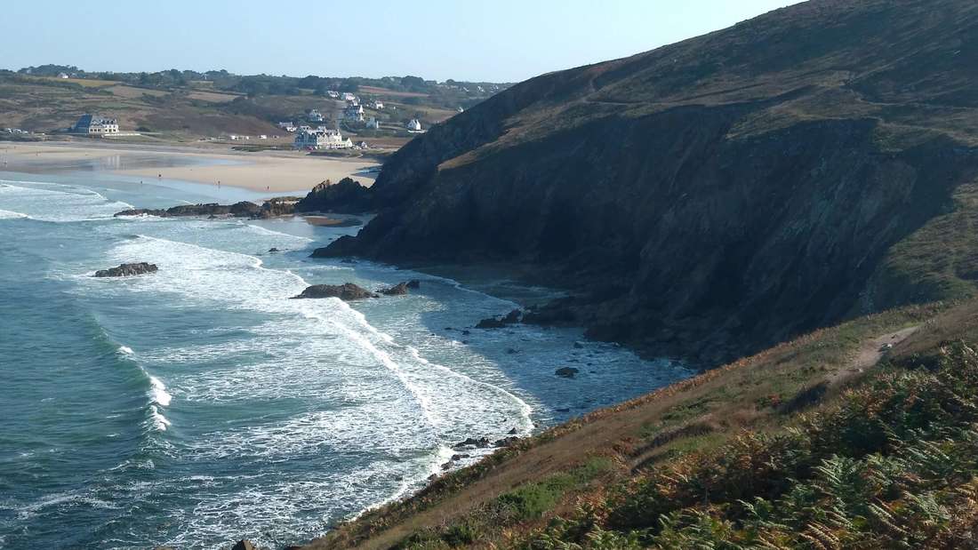
Approaching la Baie des Trépassés which lies between the Pointe du Raz and the Pointe du Van.
|
10th day, Baie des Trépassés to Kerguerriec See the day's walk on a map 10.5 miles
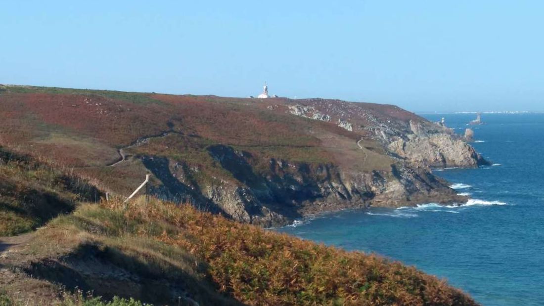
With nearly 890m of total ascent this is perhaps the toughest section on the walk. The sea is clear and a beautiful turquoise. The cliffs are high making for very impressive scenery. Look out for peregrine falcons which hunt the cliffs and seals hunting the clear waters. The campsite is near La Pointe de Penharn, from where the picture in the header is taken. 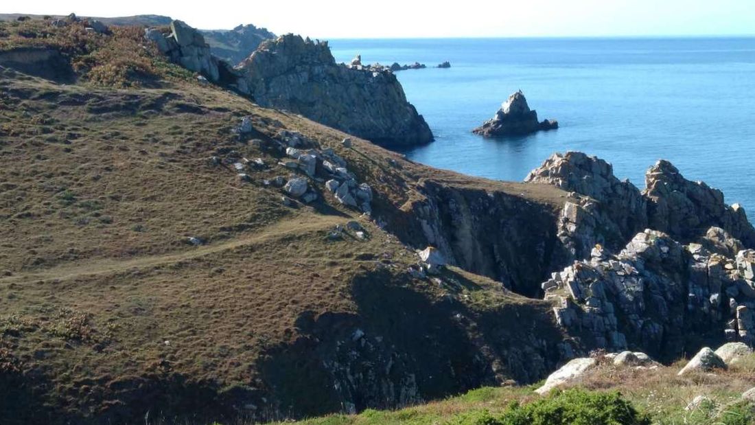
The north coast of Cap Sizun
|
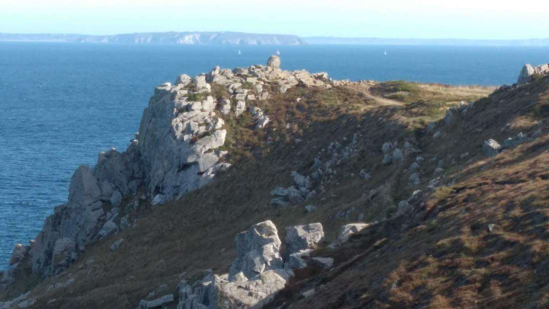
From the north coast of Cap Sizun you can see the Crozon Peninsula
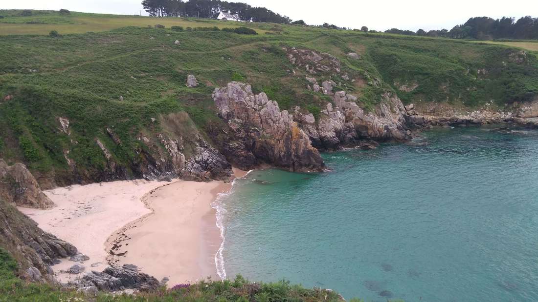
11th day, Kerguerriec to Pors Peron See the day's walk on a map 9 miles
Only slightly less up and down on this section. Equally dramatic with small sandy coves which provide some swimming opportunities. Your destination is a campsite above a large sandy beach; one of the most attractive in Brittany with excellent swimming. |


|

|

|

|